Wind Solutions
Wind Resource Assessment
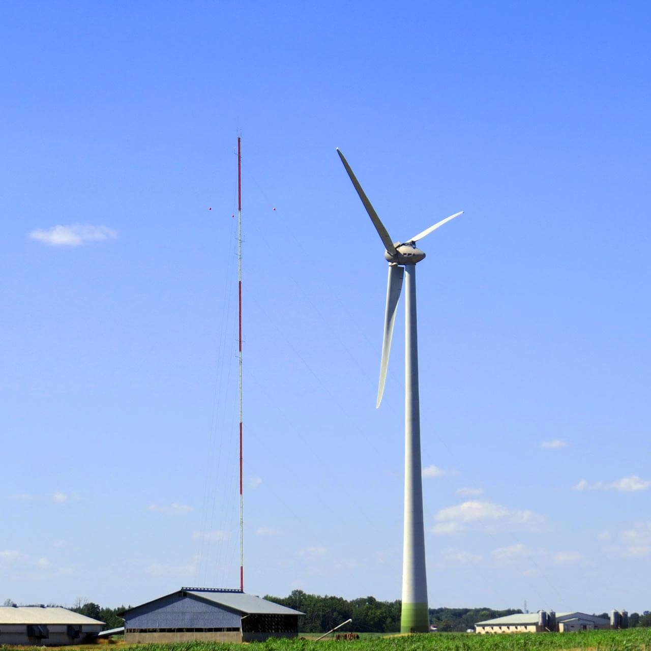
Wind Resource Assessment (WRA) is the systematic collection of wind data at a potential wind farm site. Measurements of a variety of meteorological parameters are typically taken over the course of several years using a combination of met towers and Lidar.
Wind farm developers are able to estimate the future power output of a variety of wind farm sizes and turbine arrangements, and they use this information to design the layout of the wind farm, secure project financing, and make other vital decisions.
Building on over years of experience, Ingenious design, supply and install complete wind resource assessment systems and instruments that work together seamlessly and suit a variety of climates, terrains, and applications.
Ingenious specializes in providing comprehensive wind resource assessment services tailored to meet the unique needs of each project. Our expertise extends beyond traditional assessments to include advanced methodologies and technologies that ensure accurate and reliable results. Our services encompass:
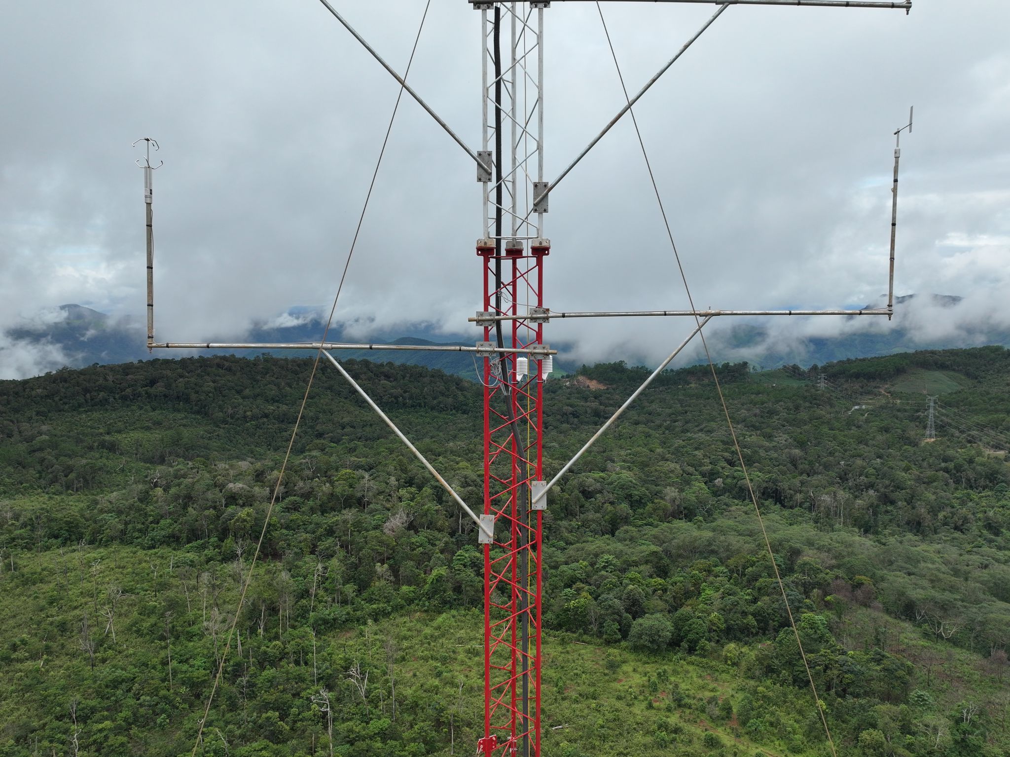
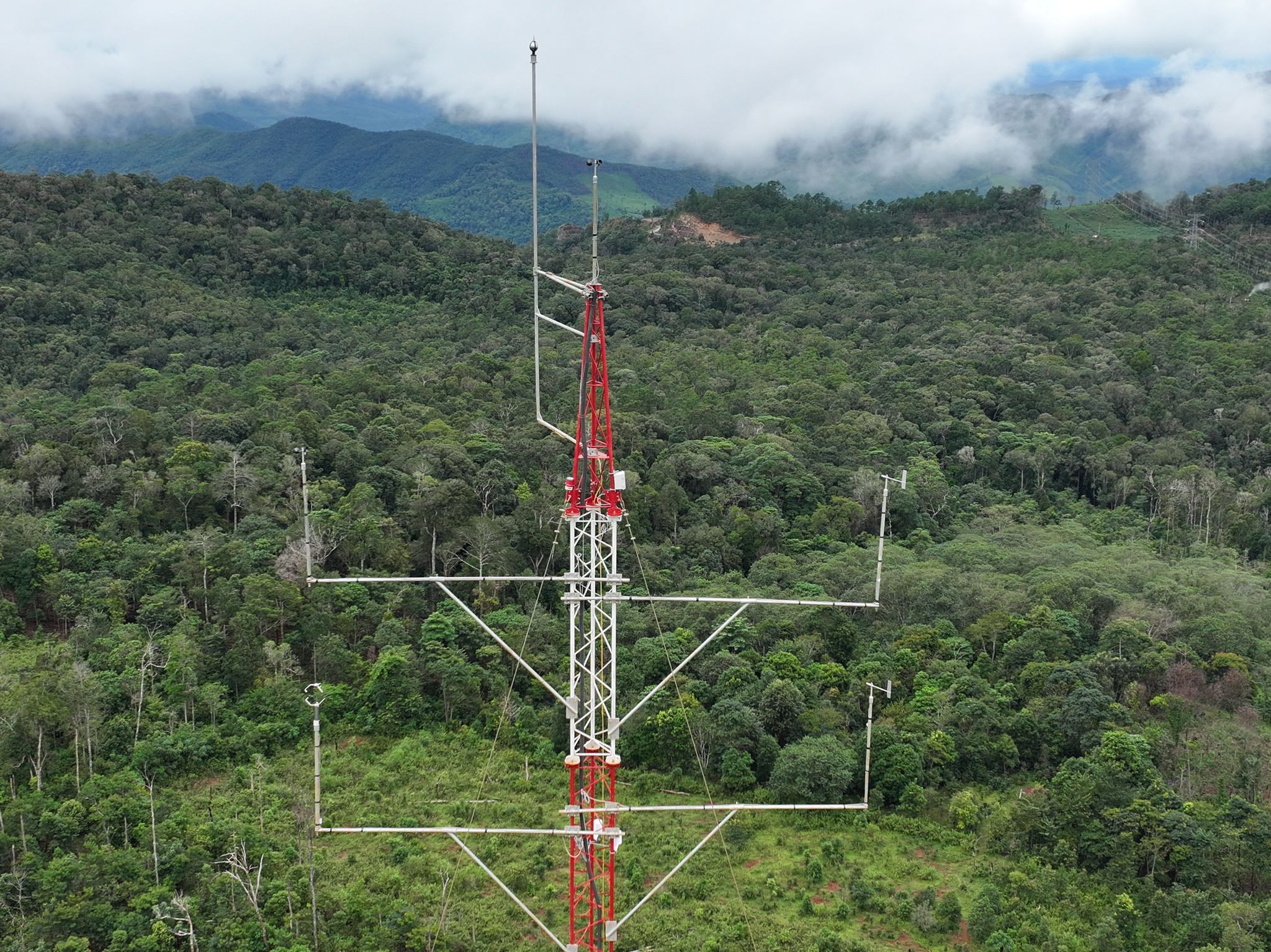
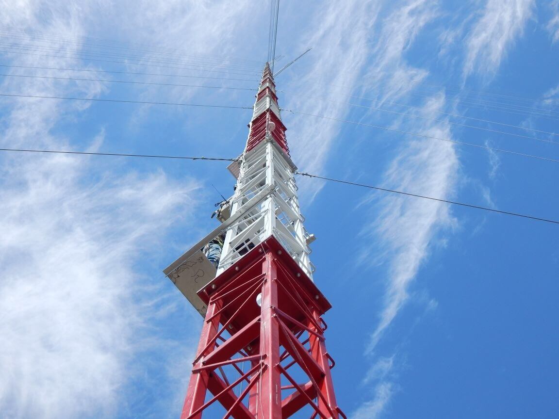
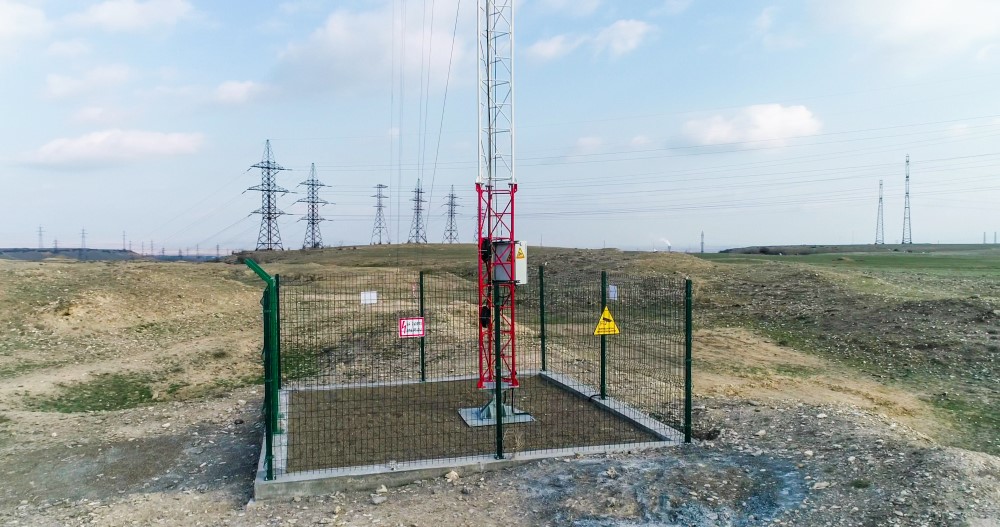
MET MAST MEASUREMENT
Deployment:
Strategic placement and installation of meteorological masts equipped with anemometers, wind vanes, and other sensors
Data Collection:
Gathering high-quality wind data such as wind speed, direction, temperature, and humidity through robust instrumentation at multiple heights.
Analysis:
Utilizing sophisticated tools to analyze wind patterns, diurnal variations, and seasonal trends.
Site Suitability Evaluation:
Determining the feasibility of proposed sites for wind energy projects based on met mast data.
Energy Potential Estimation:
Accurately estimating the energy yield of potential wind farm sites using collected data.
Reporting:
Providing detailed reports to support decision-making and project planning.


LIDAR MEASUREMENT
Deployment:
Deploying advanced LiDAR systems to capture high-resolution wind data at various heights and locations, including hard-to-reach areas.
Data Accuracy:
Leveraging LiDAR technology to obtain precise, three-dimensional measurements of wind speed, direction, turbulence, and other crucial parameters.
Remote Sensing:
Conducting remote sensing, reducing the need for physical masts, and enabling assessments in complex terrains.
Validation:
Validating LiDAR data against traditional meteorological mast data to ensure accuracy and reliability.
Advanced Analysis:
Integrating LiDAR data into sophisticated modelling software for in-depth analysis and forecasting.
Energy Potential Estimation:
Using high-resolution LIDAR data to provide more accurate energy yield estimates.
Reporting:
Delivering comprehensive reports that combine LiDAR data with traditional measurements to support strategic planning.
ingenious
Ingenious is a team of passionate experts delivering cutting-edge solutions in Environmental, Renewable Energy, Geotech, and Monitoring Technologies.
Office (INDIA)
Office #18, 1st floor, Nawab Estate,
5-1-655 Troop Bazar,
Hyderabad, Telangana, 500001
Office (UAE)

Copyright © 2019 Ingenious EnviroMed | Privacy Policy